Question 1:
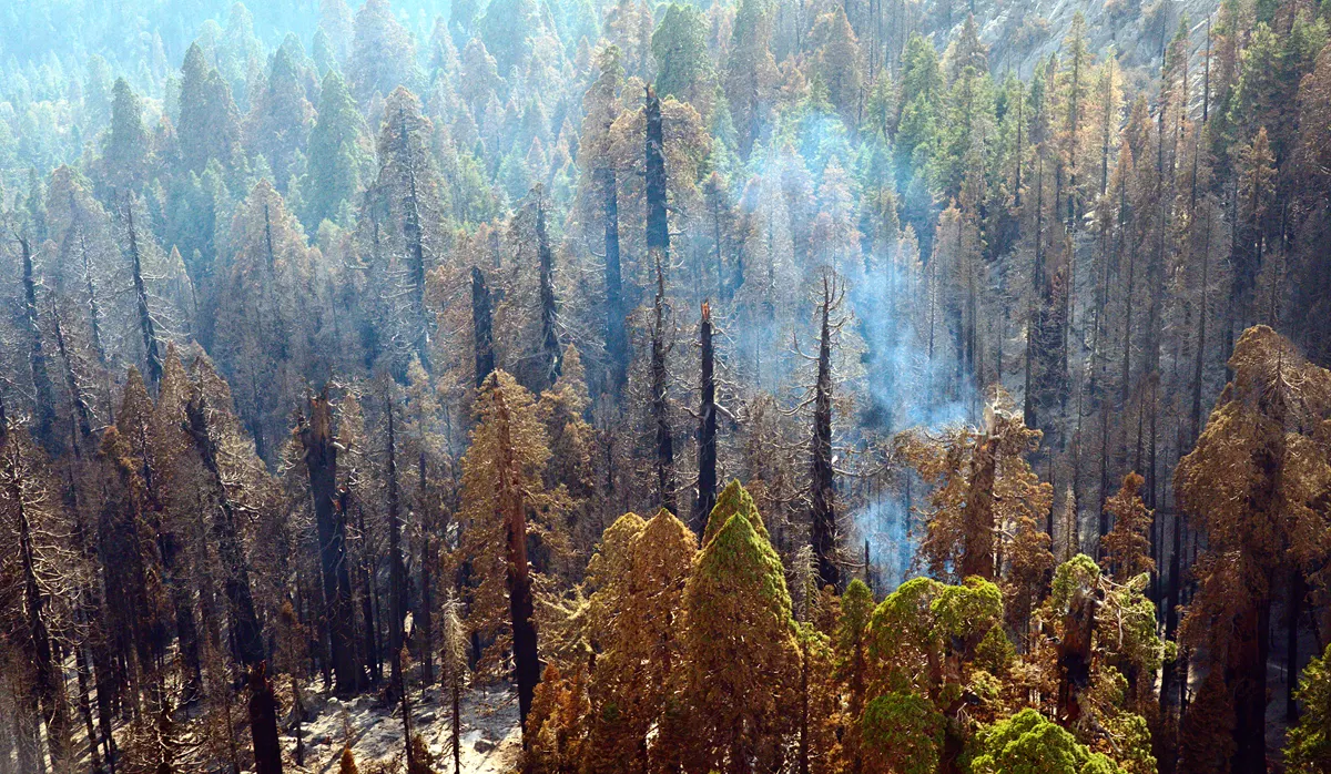
- To determine fire severity, the Normalized Burn Ratio was utilized to calculate the difference using band math between sentinel-2a images taken on 8/9/2021 (pre-fire) and 11/17/21 (post-fire).
- NBR is defined as (NIR – SWIR)/(NIR + SWIR) and utilized band 8 (NIR) and 12 (SWIR) from the sentinel-2a image.
- To calculate fire severity type, a manual classification was made with a raster color slice containing 5 classes based upon NBR guidelines.
- Statistics were compiled using ENVI statistics tools.
- Raster clipping of the NBR image was performed using ArcGIS Pro.
- Layouts were exported through ArcGIS Pro.
- Analyzed change detection statistics
- Compared NDVI images before and after the Windy Fire (8/7/2021 and 10/10/2021)
Question 2: To determine the relationship between land management and burn severity, the Normalized Burn Ratio was calculated using band math to compare areas in the National Park Service (NPS) and Forest Service (outside NPS boundary). First, Sequoia-Kings Canyon National Park boundaries were overlayed on a Landsat 8 images from before and after the fire. The first image was taken on August 18, 2021 (nearly three weeks prior to the fire) and the second image was taken on October 19, 2021 (just over 4 weeks after fire). The Normalized Burn Ratio formula is as follows: (NIR – SWIR)/(NIR + SWIR). Utilizing Bands 5 and 7 from the Landsat 8 images, the calculation was reach for four different areas: inside the National Park Service boundaries (before the fire and after the fire) and outside the NPS boundaries, under the forest service (before the fire and after the fire).
The color gradient on the map demonstrating the NBR indicates that a green area has a lower NBR with red indicating a higher NBR (see map below). Moreover, statistical data (the mean NBR) from each of the four quadrants are compared in the graph and chart indicated below.
Question 3: Compared NDVI from 2022 to previous years to assess change in greening patterns following the 2021 fires
- Calculated NDVI within the extents of the KNP Complex and Windy Fires using Landsat 8 images from February 2014, 2016, 2018, 2020, and 2022
- Created change detection maps using NDVI from 2020 and 2022
- Created plots to show the trend of mean NDVI in different years
- Analyze potential regeneration failure in high severity burn areas